How terrain decides where water goes
Flood maps age. Terrain doesn't. The case for reading landform first.
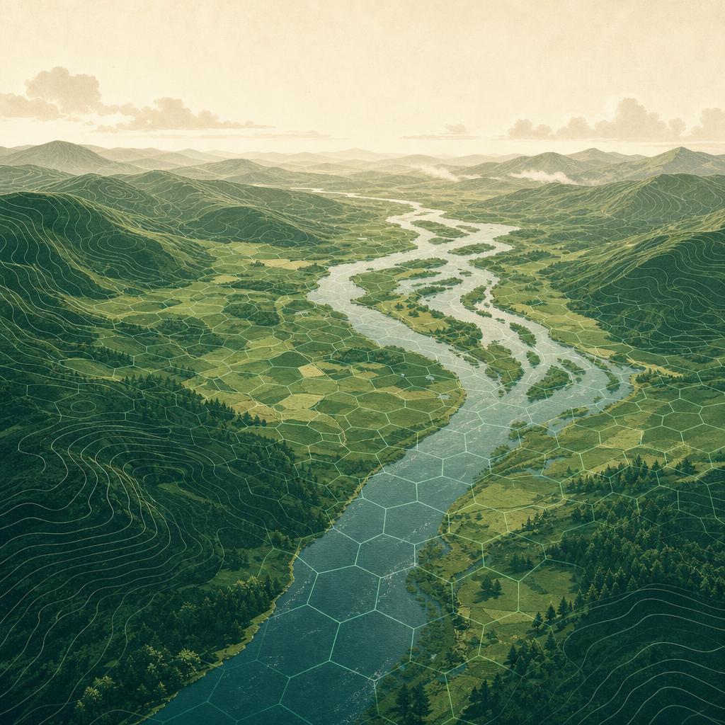
When water arrives — from a swollen river, a cloudburst, a blocked culvert — it does not consult a hazard map. It follows gravity. It moves downhill, gathers in the channels the landscape has carved over thousands of years, and settles in the low ground beside them. That is why two houses on the same street can have very different flood histories: the terrain under them differs, even when the postcode doesn't.
Hexaflood is built on that observation. Instead of starting from local flood maps — which vary wildly in quality, age and availability from country to country — we start from the shape of the land itself, and score every hexagonal cell of terrain on how naturally it collects or sheds water.
Height above the drainage network
The single most telling number for any location is how far it sits above the nearest natural drainage line — the stream, river or valley floor that water in that landscape ultimately runs to. Hydrologists call this HAND: height above nearest drainage.
A property two metres above the local drainage line lives in the space water reaches first. A property twenty metres above it is, in most conceivable situations, simply out of reach. Elevation above sea level alone doesn't tell you this — a hillside town at 400 m can still have streets that sit in the bottom of a bowl.
Slope and the upstream catchment
Two more terrain signals sharpen the picture:
- Slope. Flat ground drains slowly. Water that arrives on a 1-degree plain lingers; the same water on an 8-degree hillside is gone in minutes. Flat cells next to drainage lines are where water both arrives early and leaves late.
- Flow accumulation. How much upstream landscape funnels through a cell when it rains. A modest dip that happens to collect the runoff of an entire hillside behaves very differently from the same dip near a ridgeline. The terrain tells you which is which.
Combined with height above drainage, these signals describe the plumbing of a landscape: where water concentrates, how fast it moves, and which cells sit in its way.
From terrain to a score
Each cell's terrain signals are combined into a single 0–100 susceptibility score — higher means the landform is more prone to collecting water. Where recognised flood defences exist, we also publish a protected score alongside the raw terrain reading, so you can see both what the land does naturally and what engineering currently holds back.
The result is a consistent, comparable read on any location we cover — the same method in Rotterdam, Milan or Bangkok, with no dependency on whether a local authority happens to publish a modern flood map.
See it for yourself: open the Explorer, search an address you know, and check whether the terrain agrees with your intuition. It usually does — and when it doesn't, that's exactly the kind of place worth a closer look.